This is not a planning decision or the statutory plan. Open government zoning data, explained. Details
How is this land zoned?
Zoom in and tap your land.
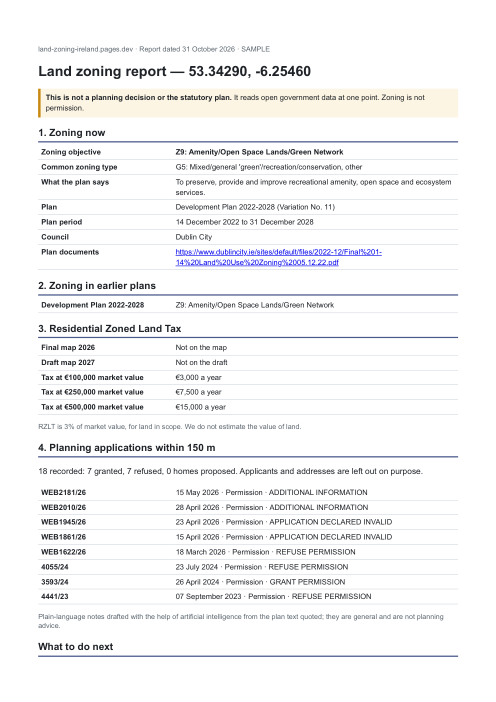
See the report. A real one, from the same program as orders, for Trinity College Dublin.
Machine access and service level
The service level we impose on ourselves
Regulation (EU) 2023/138 requires Member States to publish certain datasets — so-called high-value — free of charge, machine-readable, with an API and bulk download. We apply that level to this register, whether the law requires it or not.
- Free of charge — every page and every machine file on this site is freely accessible, with no account and no key.
- Machine-readable — manifest, field schema, real sample.
- With an API — 6 callable tools, described with their input schema and wired into the page for an agent.
- And as a bulk download — 7 fragments covering the whole dataset, enumerable and free.
⚠️ This register is not designated « high-value » in the legal sense: it is a service level we impose on ourselves, not a regulatory guarantee. Details for agents · catalogue.
Machine access8/9
This is not a badge: every line points to the file that proves it, and the only missing one is listed too.
- servedversioned manifest
- servedfield schema, with fill rates
- servedreal sample, read from a served fragment
- servedtools declared and served
- servedfree bulk download
- servedcallable MCP server
- servedllms.txt
- servedreal 404 page
- missinglog of agent visits to THIS site